Words and Photos by Federico Cabrera
My Adventure started at Tolhuin in Tierra del Fuego where I gathered food for 10 days and headed out onto Peninsula Mitre carrying only the essentials. It took me 17 days to reach Cabo San Diego, also known as Peninsula Mitre, and to return to Tolhuin’s Panaderia La Union.
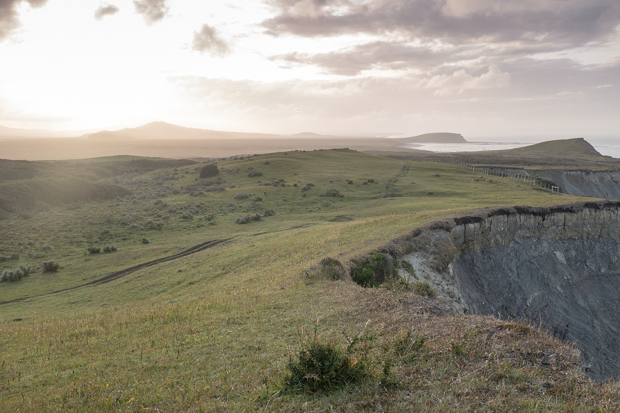
In total, it was a 450-mile solo & self-supported adventure through deserted beaches, forests & peatlands and I was the first one to get this far by bicycle—probably because nobody else was stupid enough to try it sooner, as 90% of Tierra del Fuego’s peatlands are located at Peninsula Mitre. During the expedition, my biggest concern was being able to cross the 5 rivers separating Estancia Maria Luisa from Cabo San Diego.
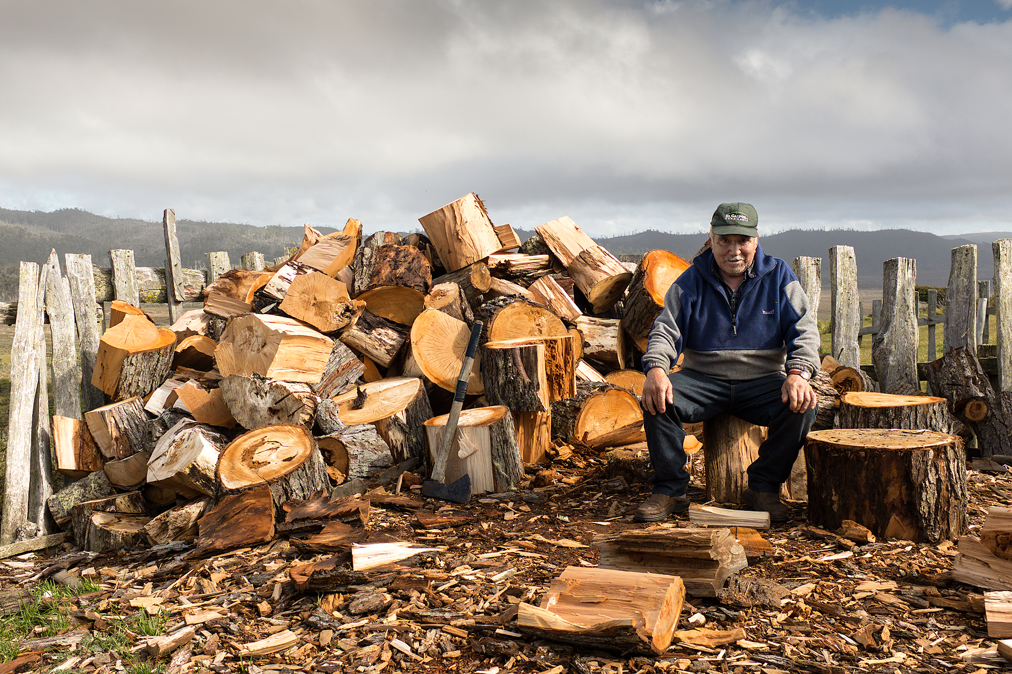
On my 2nd day, a few hours after crossing Rio Irigoyen, I reached Puesto La Chaira, the last inhabited place at Peninsula Mitre, and met Hector Oyarzun who lives there the entire year and sometimes spends up to 9 months alone. I also met Agustin, who was visiting and learning the Gaucho’s life and I was able to get a lot of information about my challenge ahead. Aside from a lot of helpful information on the landscape, they gave me the tide schedule for the next 4 river crossings—a very useful piece of information for the adventure ahead.
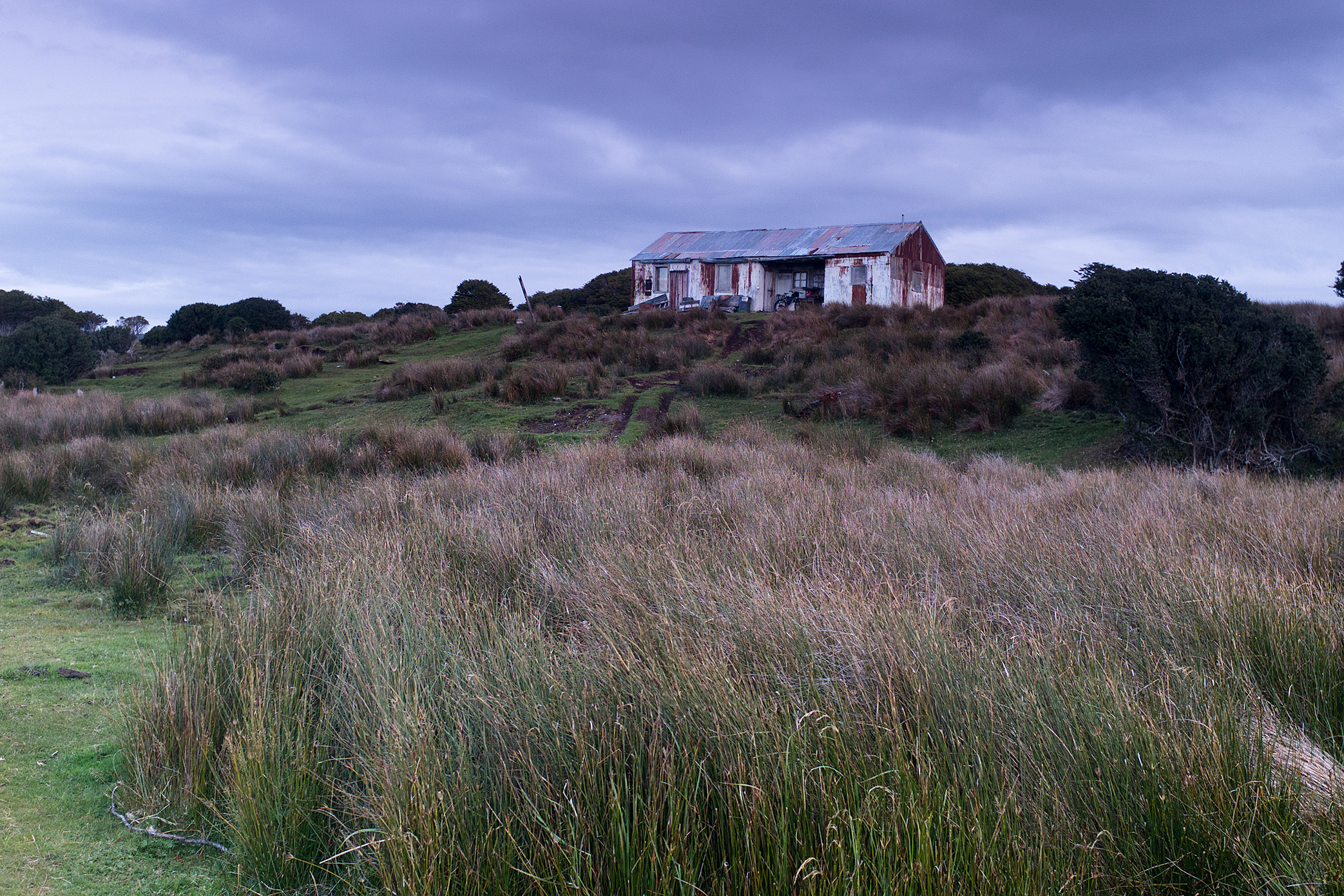
Along Peninsula Mitre there are 4 old uninhabited refugios, which were restored by Adolfo Imbert, Centro Hipico Fin del Mundo, where travelers can get shelter from the tough environment. All of them have beds, a wood stove, & potable water. Unfortunately, many people traveling in the area, using ATV’s or other motorized forms of transportation, don’t appreciate how important these places are for trekkers like myself. One such Refugio, Puesto Rio Leticia, had been destroyed in the last couple of years—with its walls torn down to make fires and litter all around.
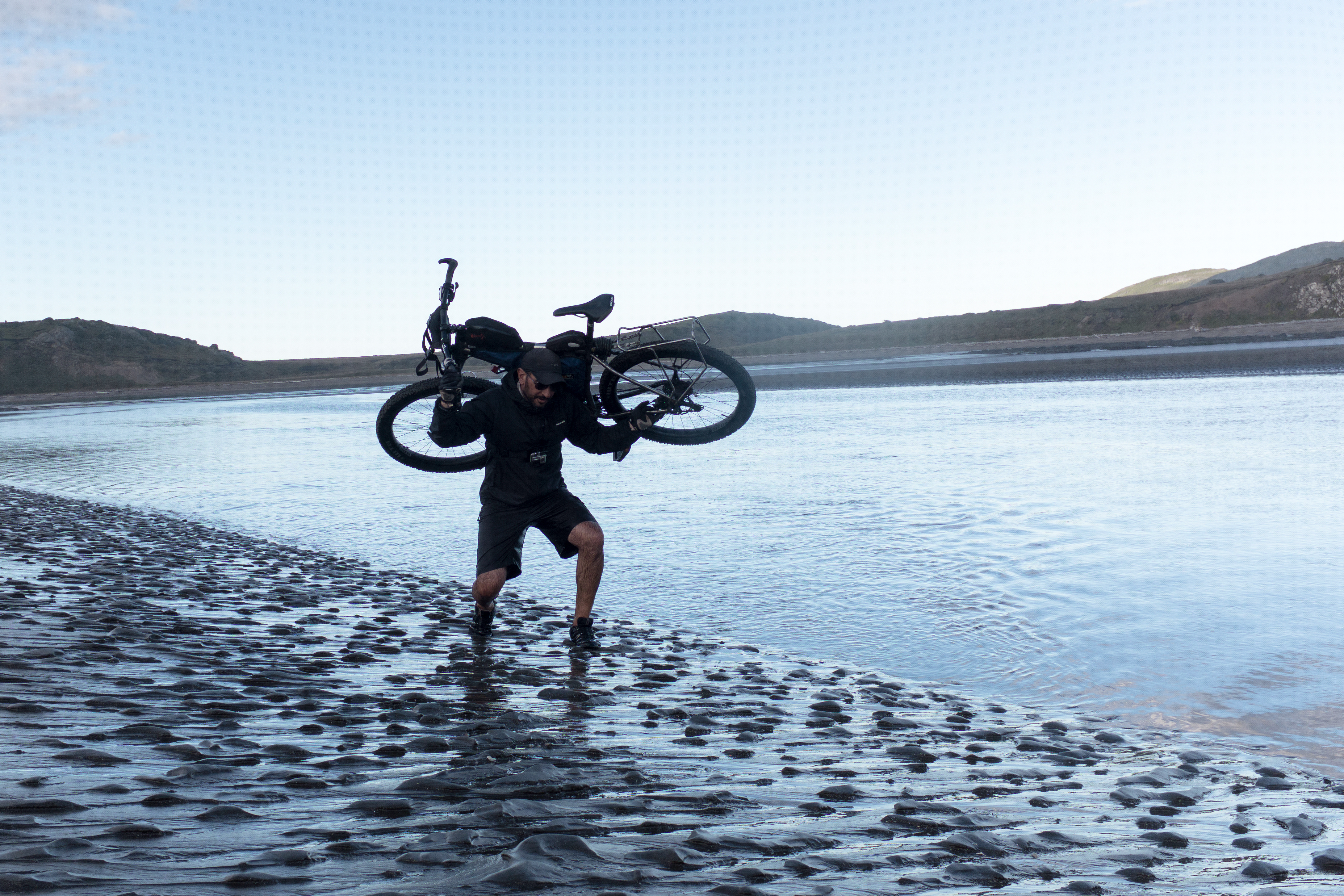
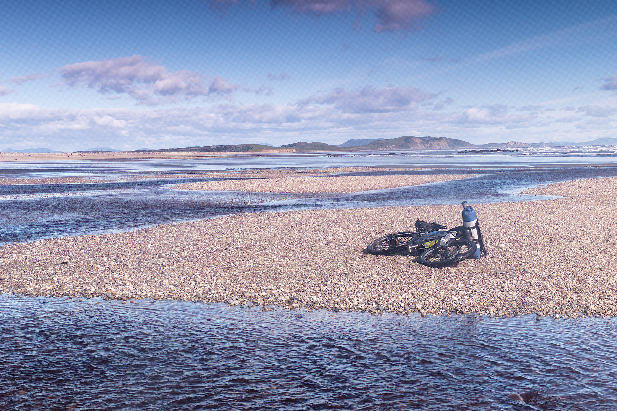
At each new river crossing along the way I would end up making 7 crosses across and back, as I wasn’t sure exactly where to make the cross and how deep the rivers were. The first time I would make it without any gear to check the river, the 2nd time I carried the electronics, the 3rd time I carried the camping gear & clothing, and finally the 4th time I carried the bicycle.
One such crossing, the Rio Policarpo, which is one of the largest crossings, is essential to cross at the lowest tide. I arrived there at perfect timing and by the time I was crossing my bike, the water was up to my chest and the river was at least 100 meters wide.
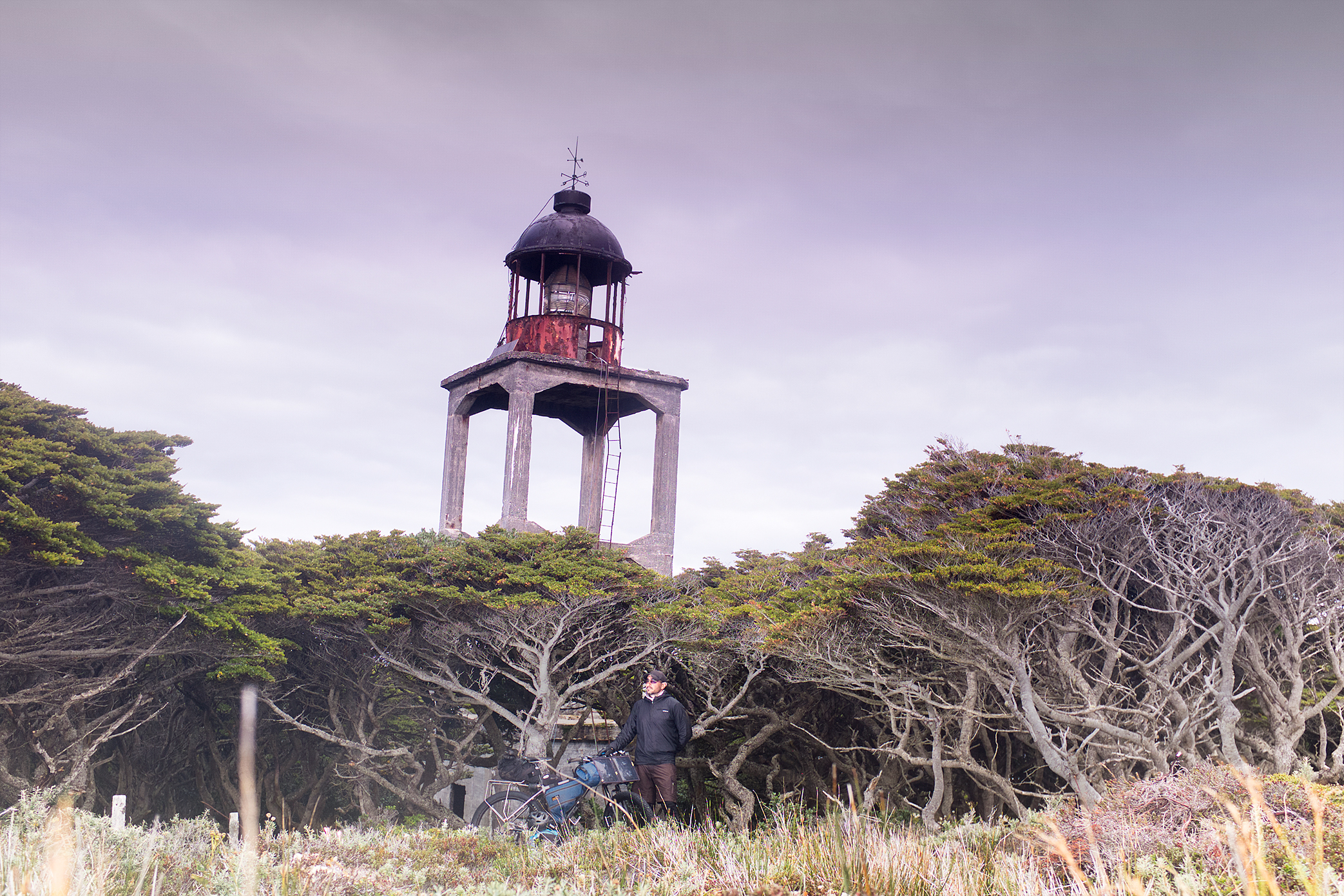
From the last Refugio, Bahia Thetis, I had one more river crossing and only 9 miles to Cabo San Diego’s lighthouse, the farthest point and turn around point of this trip. In the Bahia Thetis’ logbook I found information stating 6-7 hours were needed for a round walking trip to the lighthouse. Just in case I planned for a 10 hours round trip and I carried some gear—bivy sack, sleeping bag, & some dry food.
By the time I finally reached America’s extremity in the 9th day of my trip, I knew I probably wasn’t going to make it back to Bahia Thetis in time to cross the river at low tide, so instead of wasting any time, I just took a few minutes to skinny dip at Estrecho de la Maire & to make a couple images at the Lighthouse before heading back on the 9-mile journey.
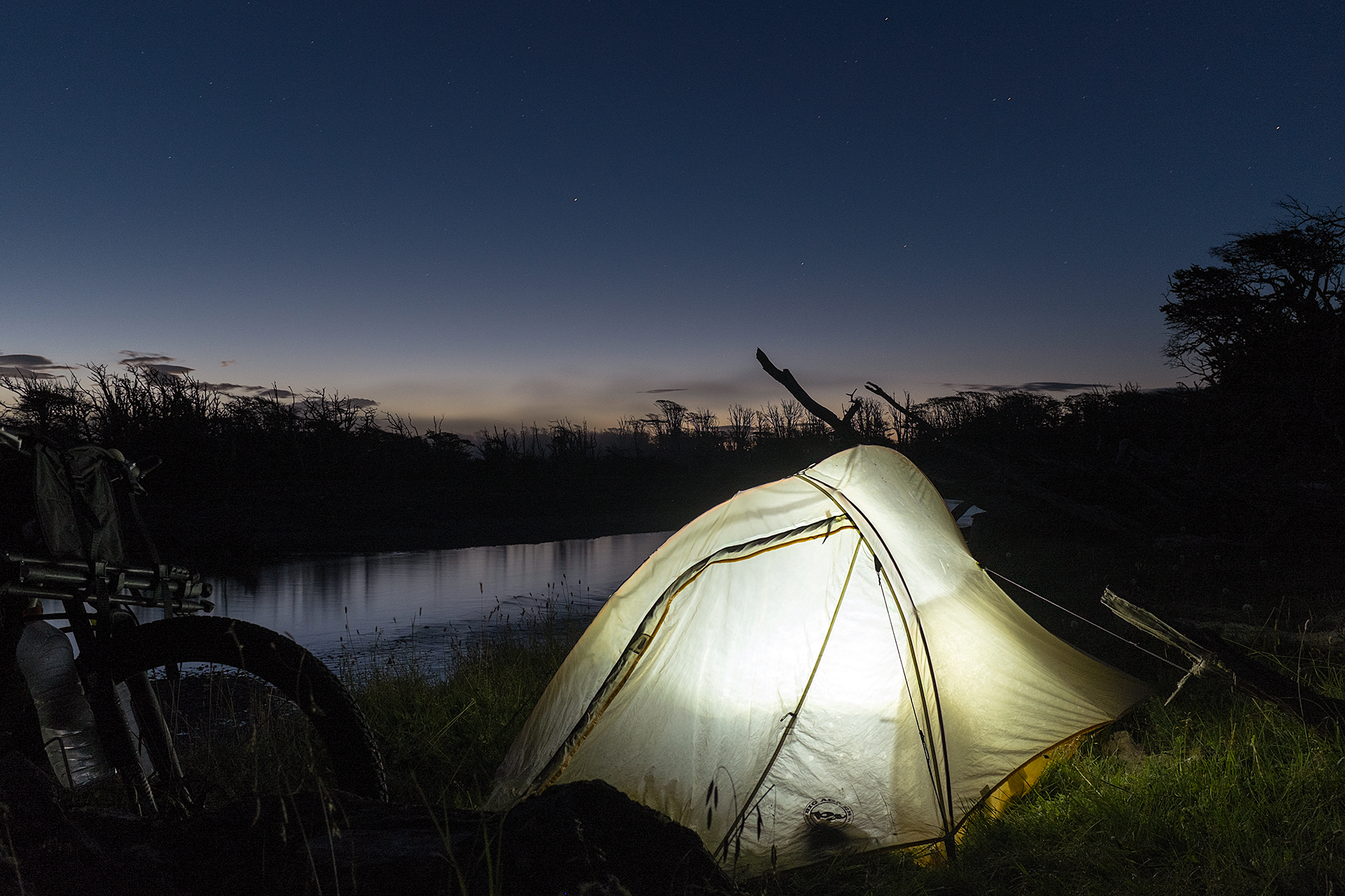
The last couple of hours I found my way through the peatlands with just a small headlamp as it was a very dark and cloudy night. By the time I made it to the river crossing I was 2 hours late for the low tide so I had to spend that night with just my bivy sack & summer sleeping bag. Fortunately, it was the first night without rain the entire trip.
A few days later I found out the person who took 6-7 hours in his round trip from Bahia Thetis to Cabo San Diego had crossed the river by boat in 5 minutes, instead of walking 4 miles to cross the river—2 miles each way like I had—through ankle deep mud, taking an extra 4-6 hours. From Bahia Thetis it took me 5 days to get back to Tolhuin with good weather.
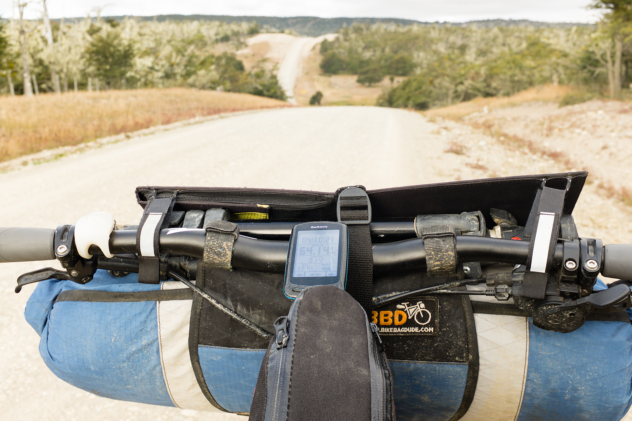
For anyone that decides to head down and try this route, remember to carry as little weight as possible as there is plenty of pushing/walking the bike involved. It is also essential to get an updated tide chart/schedule and to carry food for at least 2 weeks—you might find some food at some shelters, but you can’t count on it.
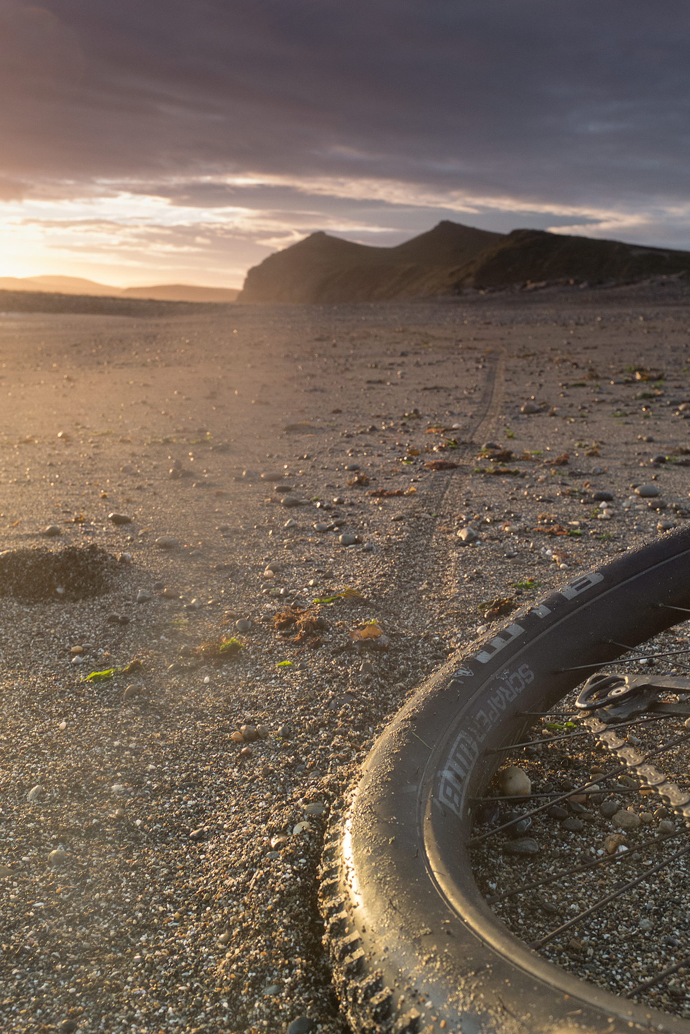
You should also expect to find at least a couple rainy days and strong winds—in your return trip you will probably have head winds all the way to Ruta 3. Wider tires and rims will be highly appreciated to ride on the beach with low tides and to get through the endless peatlands that will be encountered.
In order to preserve this wild & remote place we need to request that the local authorities protect and regulate this area. Please make a difference and sign this petition: https://www.change.org/p/preservar-peninsula-mitre?recruiter=50229550&utm_source=share_petition&utm_medium=copylink